Place · region
Changnyeong County
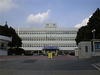
Changnyeong is a county in South Gyeongsang province, South Korea, on the east bank of the Nakdong river. It was the centre of Bihwa Gaya, one of the Gaya polities, before Silla absorbed it; a stele of King Jinheung of Silla from 561 records his tour of the area. It also contains the Upo wetland and the Gyo-dong and Songhyeon-dong tombs.
Mentioned in 1 state history
See also
Cite this entry
- APA
- The Epoch Institute. (2026). Changnyeong County. In The Epoch Institute Encyclopedia. https://the-epoch-institute.org/encyclopedia/changnyeong-county
- MLA
- “Changnyeong County.” The Epoch Institute Encyclopedia, The Epoch Institute, 2026, https://the-epoch-institute.org/encyclopedia/changnyeong-county. Accessed .
- Chicago
- The Epoch Institute. “Changnyeong County.” The Epoch Institute Encyclopedia. 2026. https://the-epoch-institute.org/encyclopedia/changnyeong-county.
- Harvard
- The Epoch Institute (2026) ‘Changnyeong County’, The Epoch Institute Encyclopedia. Available at: https://the-epoch-institute.org/encyclopedia/changnyeong-county (Accessed: ).
Last reviewed October 2026Random entry ↻